The Geographic Data tab enables you to capture geographic information relating to an asset's physical location. This information can be used for various asset maintenance purposes. On Key does not provide any additional GIS-specific functionality. However, the information captured here can be extracted by third-party Geographic Information Systems (GIS).
Note! The Geographic Data tab cannot be included in the edit screen's tab order.
The Geographic Data tab consists of three sections: Geographic Location, Geographic Details, and Notes.
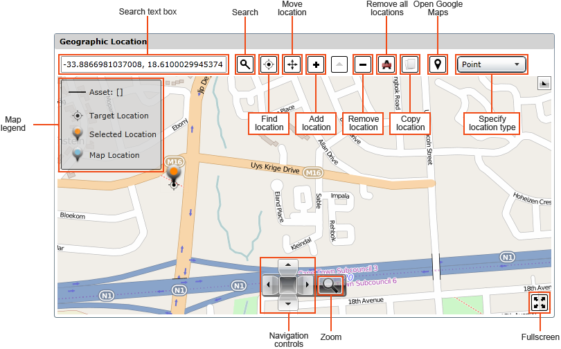
The image below shows the map controls:
This section enables you to do the following:
How to ... Search for a Location
Type the location's coordinates in the Search text box.
Click the Search (![]() ) button.
) button.
The location will be indicated using a Target Location marker ( ).
).
How to ... Add an Asset's Location
|
|
Single-point asset |
Linear asset |
Area asset |
|
Description |
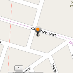
Used for assets that occupy a single point on the map. For example, a pump, crane, or air conditioning unit.
|
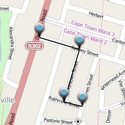
Used for assets that exist along a linear route. For example, a pipeline or road. |
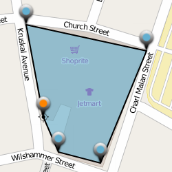
Used for assets that take up a specific area. For example, an office building or warehouse. |
|
Example |
|
|
|
|
Steps |
NOTE: The asset's location will be indicated using the Map Location marker (
|
NOTE: The linear asset's path will be indicated using a solid black line between the Map Location markers.
|
NOTES: All points created after the third point will be joined between the last and first points created.
SQL Server limitations:
Please refer to your SQL Server documentation for more information about the features it supports. |
Select the asset's Map Location marker (![]() ).
).
Click and drag it to the new location.
Alternatively, click the new location on the map, and then click the Move location (![]() ) button.
) button.
Select a the asset's Map Location marker (![]() ).
).
Click the Remove location (![]() ) button.
) button.
The Geographic Details section includes the following fields:
| Reference Asset | Specifies the reference asset used for this asset. Click the Lookup ( ) button to select an asset. The reference asset's location will be displayed with a blue location marker ( ) button to select an asset. The reference asset's location will be displayed with a blue location marker ( |
| Measurement Unit | Specifies the units of measurement used for the offset values. Click the Lookup () button to select a measurement. |
| Start Position | Specifies the start offset. Must be an integer. |
| End Position | Specifies the end offset. Must be an integer. |
| Length | Specifies the overall length. Must be an integer. |
This section lets you capture any additional notes or observations you may have regarding the asset's location.